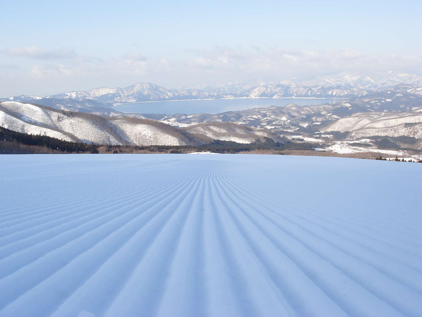
Tazawako Skiing area
[Experience reservations available]With views of the mountains and lake, you can enjoy a series of spectacular downhill runs on the big slopes. There
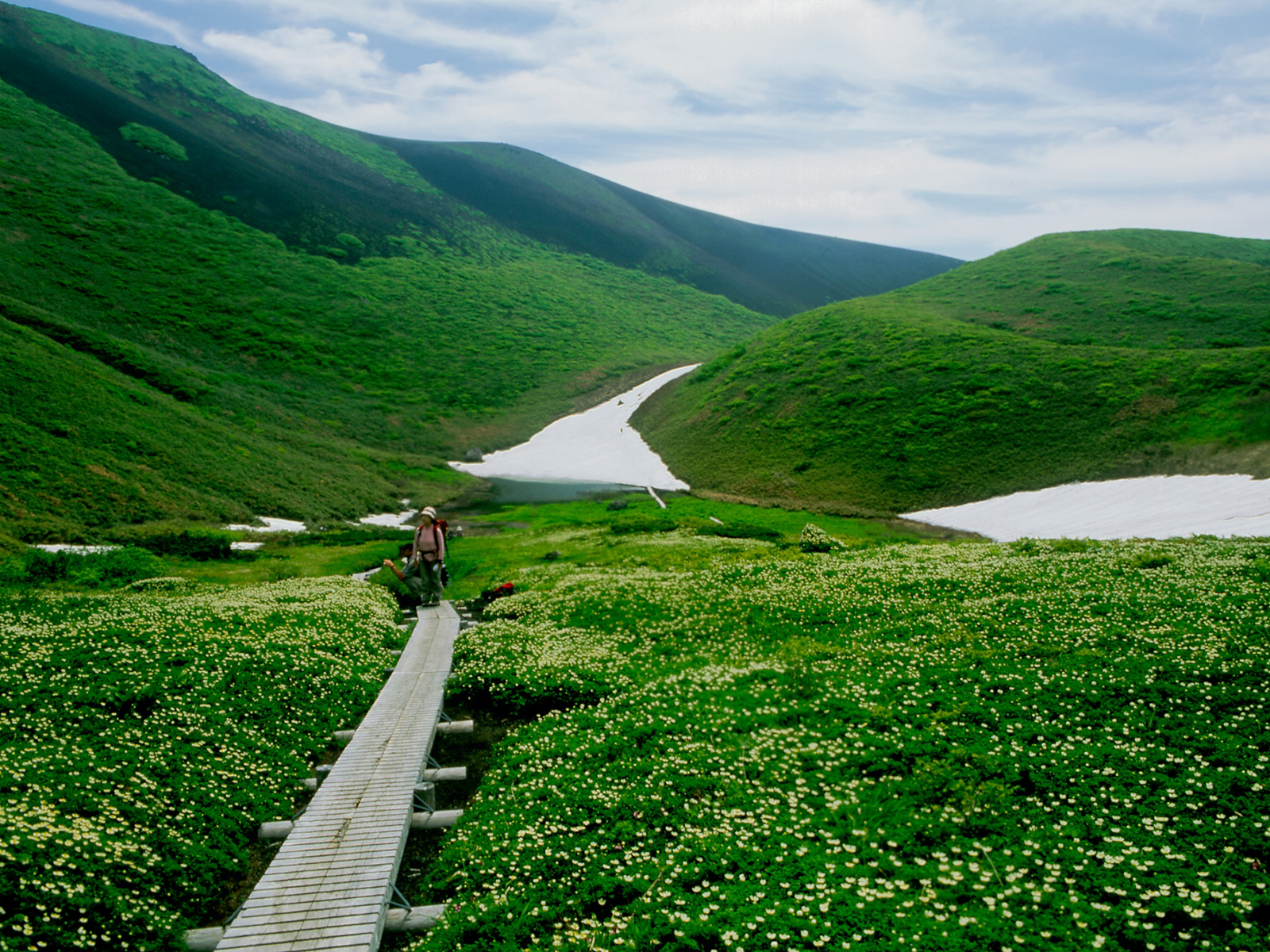
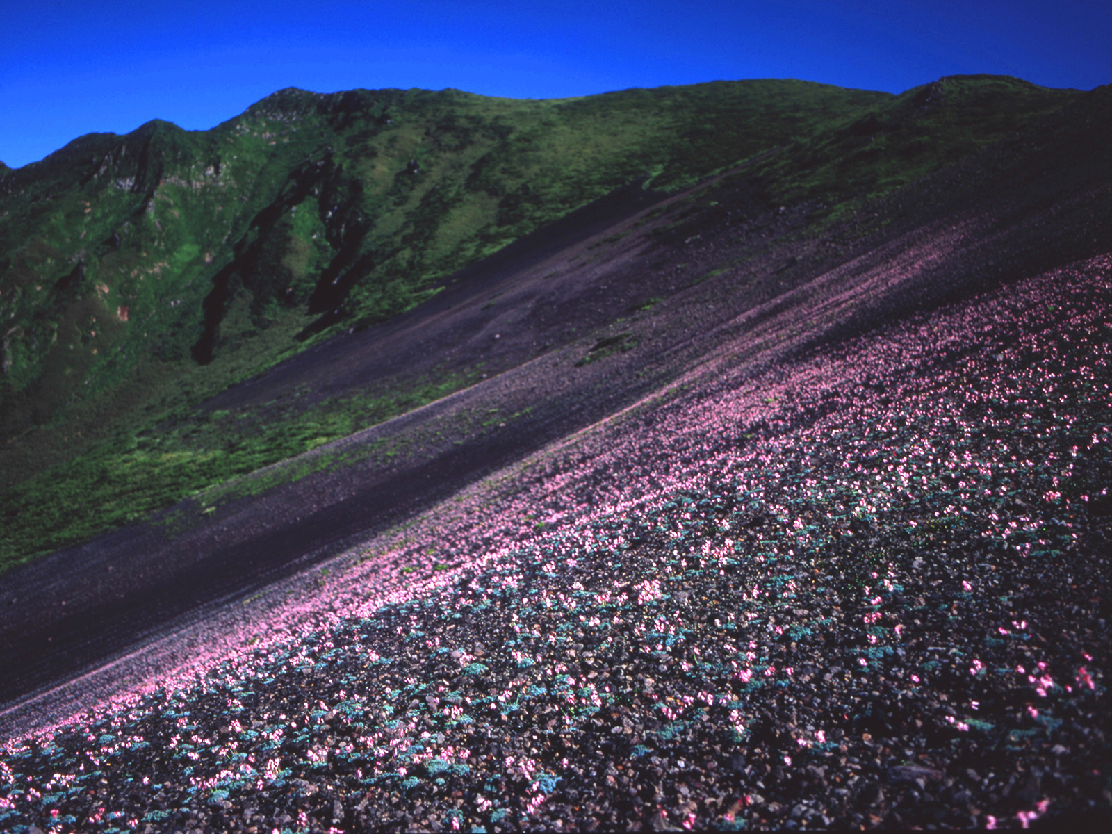
Tazawako area
#Experience and see
#experience
#family
#Guided Tours
#Nature and Landscape
#Sports and Activities
#Gourmet
#Japanese food
#Local specialties
#lunch
#Western food
.jpg)