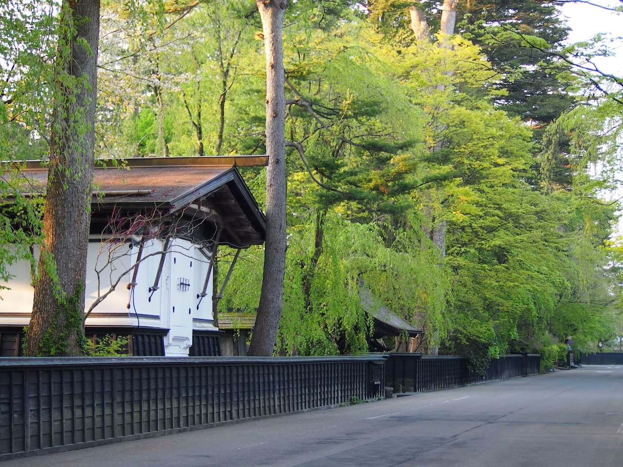
Tamachi Samurai Residence Street
Another samurai residence street in Kakunodate When the Ashina clan built the town in 1620, 80 samurai banners began to live in Tamachi, the southern

Kakunodate developed as a castle town. In the Senboku and Kitaura regions, the Tozawa clan gained power around the Oei era (1394-1428), and during the time of Tozawa Moriaki, they were recognized by Toyotomi Hideyoshi as a daimyo with a domain of 44,000 koku in Kakunodate. Following the redistribution of daimyo after the Battle of Sekigahara, the Tozawa clan moved to Hitachi (later to Shinjo), Satake Yoshinobu went to Akita, and Ashina Yoshikatsu (younger brother of Satake Yoshinobu), a prominent family that had once been a powerful force in Aizu, was granted 15,000 koku by the Satake clan and came to rule Kakunodate. The Ashina clan worked to build a new castle town, and the townscape, divided into samurai and merchant districts, has remained largely unchanged for over 400 years. After that, the Ashina clan died out after three generations, and Satake Yoshichika (Satake Kita family) took over as the local administrator. The Satake clan ruled for 11 generations and over 200 years until the end of the shogunate system in the Meiji era. With the implementation of the municipal system in 1889, Kakunodate Town, Nakagawa Village, Kumozawa Village, and Shiraiwa Village were established. In March 1955, these four towns and villages merged to form "Kakunodate Town," which remains to this day.
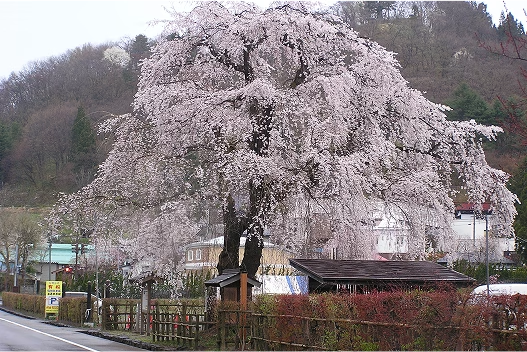
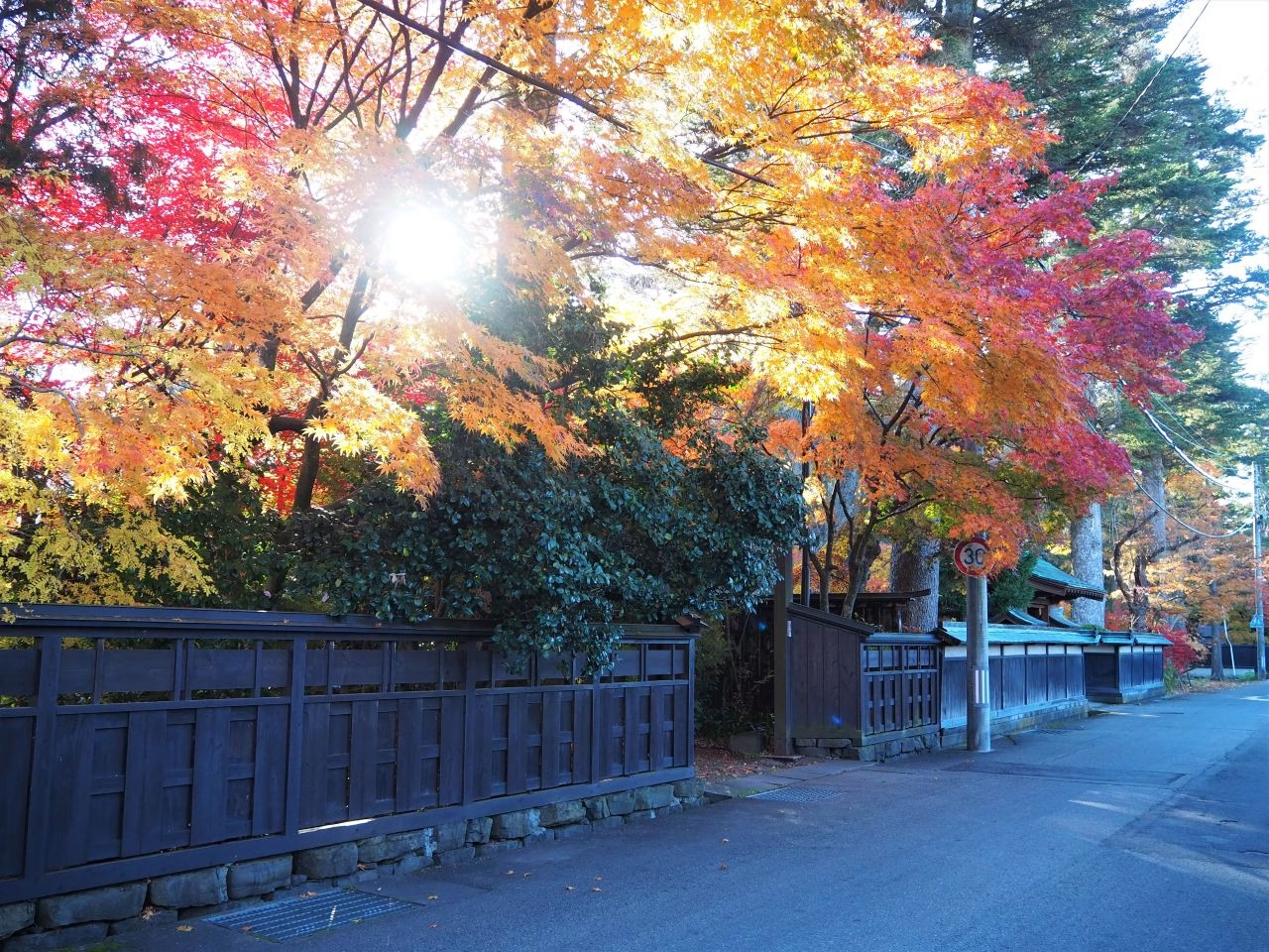
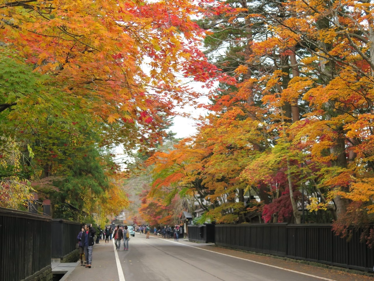
With its deep grove of trees and stately samurai residences, Kakunodate is a town that still retains the atmosphere of its feudal domain era. Often referred to as the “Little Kyoto of Tohoku,” the entire town exudes an elegant charm, making it a renowned place for viewing cherry blossoms.
This town was established in 1620 (Genna 6) by Ashina Yoshikatsu, who governed the Kakunodate region. Situated in the northern part of the fertile Senboku Plain, the area is surrounded on three sides by mountains, with the Hinokinai River to the west and the Tamagawa River to the south—an ideal location for forming a castle town.
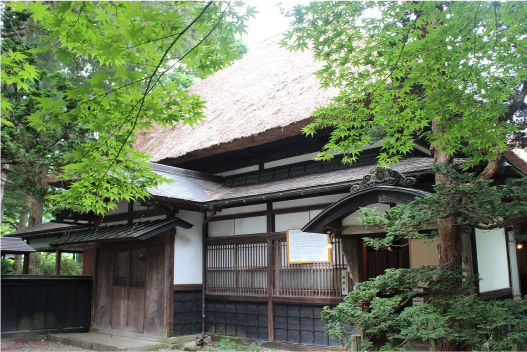
One of the most notable features of the castle town’s layout (design) is the earthen embankment built along the central north–south axis of the town, which served as a firebreak. This embankment divided the area into the samurai residential district, known as Uchimachi, and the townspeople’s residential district, Tomachi (Sotomachi). The samurai residences functioned not only as living spaces, but also collectively formed a type of fortified structure.
The area known as “Bukeyashiki Street,” stretching from Route 341 at the foot of Kojōzan to Hiyoke-mae, was the very first district to be designated in September 1976 (Showa 51) as an Important Preservation District for Groups of Traditional Buildings by the national government.
The firebreak zone had more than just the role of separating Uchimachi from Tomachi. It is said to have been constructed to prevent fires that started in the townspeople’s district from spreading into the samurai district. A wooden gate was also installed in the middle of the earthen mound, and it was closed at night. In addition to preventing fire, it likely also helped keep suspicious individuals from entering.
Although today people can move freely between the areas, the town layout—dividing the northern samurai society and the southern merchants’ and craftsmen’s society—has been preserved intact for over 400 years.
In Kakunodate, some neighborhood names include the character “丁,” such as Omotemachi Shimodōri / Kamidōri and Tōshōrakuchō, while others include the character “町,” such as Iwase-machi and Shimoshin-machi.
This is because “丁” was used for districts where samurai lived, while “町” was used for merchant districts.
The fact that place names still retain these distinctions from several hundred years ago is one of Kakunodate’s many charms.
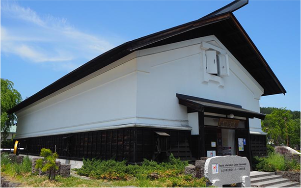
The tourist information center is a large kura-style building located in front of JR Kakunodate Station. After exiting the station, it is the white-walled building on your right.
We provide directions to the Bukeyashiki (Samurai Residence Street), introduce local dining options, and offer information on hotels and ryokan. Tourist brochures and maps are always available, and you can watch sightseeing videos of Akita Prefecture inside the facility.
The inside of the center can be used freely as a rest area, making it convenient while waiting for trains or buses.
White building to the right when exiting JR Kakunodate Station
Open 9:00–18:00 (until 17:30 from October to March)
TEL: 0187-54-2700
FAX: 0187-54-1755
Another samurai residence street in Kakunodate When the Ashina clan built the town in 1620, 80 samurai banners began to live in Tamachi, the southern
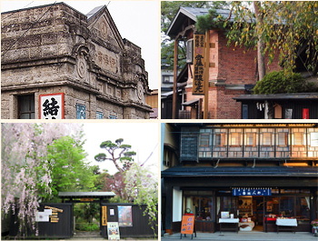
The former merchant town of "Tomachi" (Outer Town) is a stark contrast to the inner town lined with samurai residences, with its rows of merchant hous
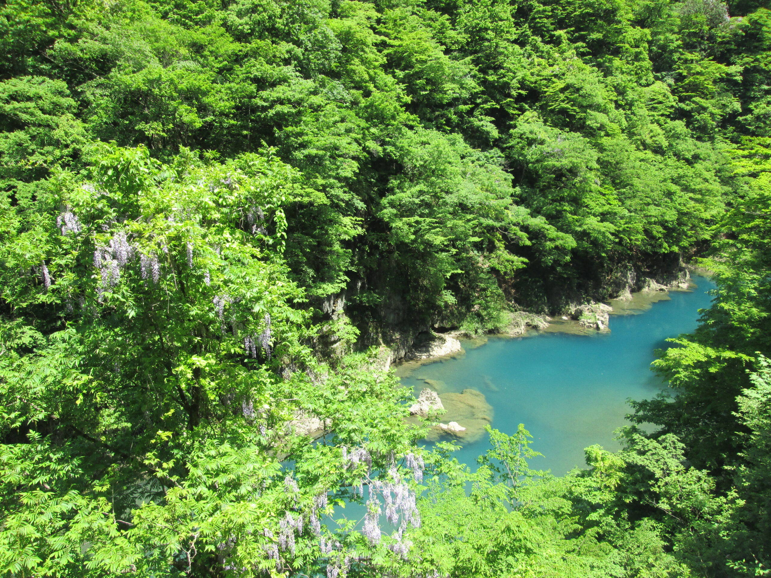
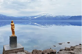
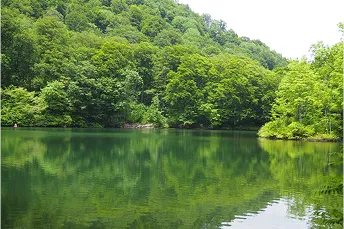
Dakigaeri Valley is known as the Yabakei of Tohoku, and is a famous spot for its beautiful virgin forests on both banks, the waterfalls hanging over t
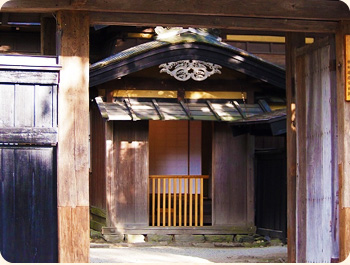
A former samurai living space At the beginning of the Edo period in 1620, large-scale urban planning was carried out by the Ashina clan, and Kakunodat